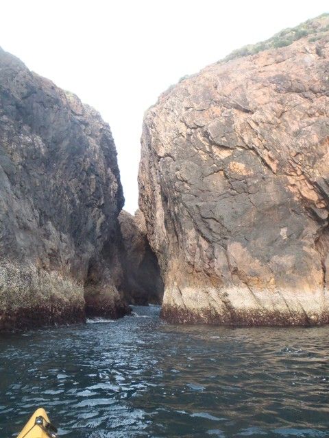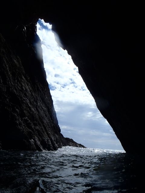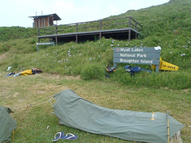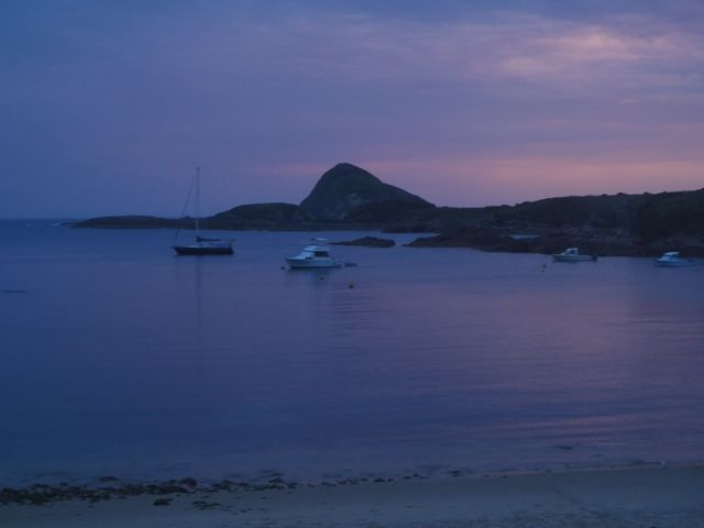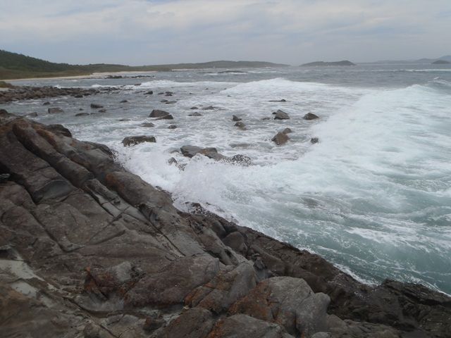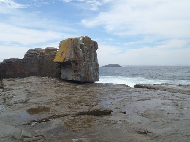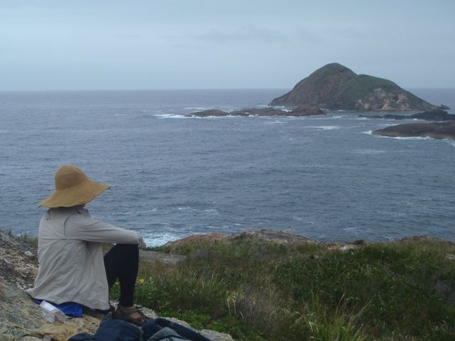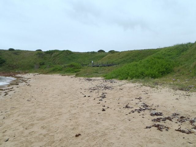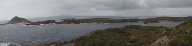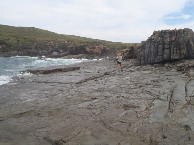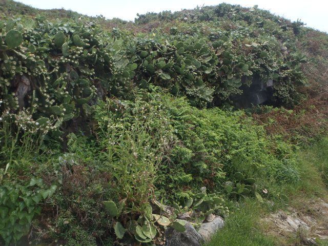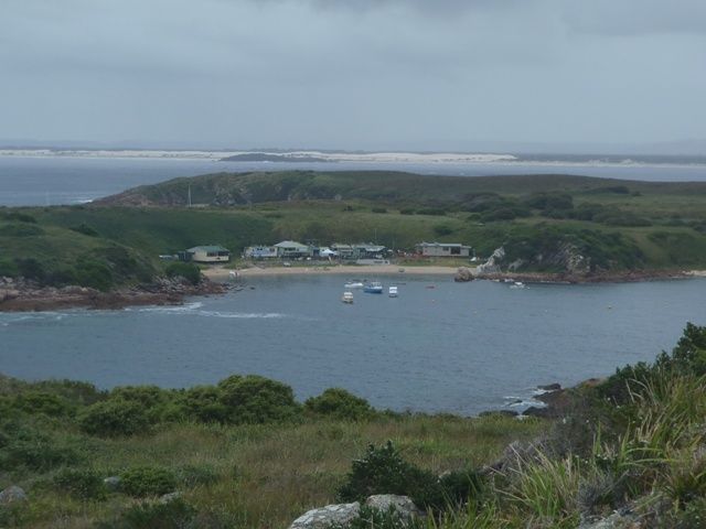
This is a scenic Island that has it all. Protected surf beaches, fishing, snorkelling and scuba diving, and a passage through the Looking Glass and some other narrow passages to test eddy skills in your sea kayak. The island has 5 camp sites on Little Poverty Beach in Esmeralda Cove which have to be booked on the National Parks web site. You can kayak to the island, go there in your own yacht or power boat or go out in the one of many dive and fishing charter boats that visit the island. There was a camp site on North Beach but it has been closed as there was no toilet facilities at the site. On a recent visit (Dec 2013) we noticed National Parks are building a hut in Esmeralda Cove where staff could stay when working on the island. I am not sure if this could also be available for hire in the future. There are well defined walking tracks between Esmeralda Cove, Coal Shaft Bay and North Beach and also less used tracks which run along the water's edge at low tide in parts and then go off into the scrub around the edge of the island on the north and south side from Poverty Beach up to Pinkatop Head. When we were there rays, turtles and porpoise swam in front of the camp site and the regular fisherman said they have hand fed the rays as they skim along the beach front. there is also a small penguin colony, Green and Gold Frogs and extensive shear-water nesting sites as well as many other migratory birds on the island and off course Whale watching opportunities in season and Grey Nurse Sharks around the Looking Glass if you scuba dive. There is a great map of "Broughton Island and Port Stephens Outside" drawn by Michael Smith in 1999 and it is available from the Tourist Information Centre at Nelson Bay and also the dive shops like Go Adventure. The map shows the walking tracks, snorkel and scuba dive sites as well as water depths, some of the hazards and safe anchor points around the islands in the Broughton Island group. There is also a book by John Clarke titled "Broughton Islanders" goes into the history of the fishing communities that have lived on Broughton island and could be the ideal read to take on a trip to the island in case the weather closes in. I think it is also available in some of the shops at Nelson Bay. The island has 3 coves with beaches around the island North Beach, Coal Shaft Cove and Emerald Cove facing different directions so there always seems to be a sheltered place to land or anchor. there are public moorings on North Beach and Coal Shaft Bay but none in Emerald Cove. There is a bomi in the center of the entrance to Esmeralda Cove which needs to be avoided but protects the bay from most swells. If you plan a trip for more than a day or two it is recommended you take additional food as bad weather can cause visitors to stay an extra day or two until it blows over, including if you have booked passage on one of the fishing charter or dive boats. It can also be very winding in the camp site if there is a southerly blowing and so reliable tents or other cover is essential. there are no hammock sites on the island. There is mobile coverage on the island from towers on the mainland. Whilst there are toilets on the island, this is a remote site and so they are not always clean as it can be months between National Parks staff visiting the island, so i recommend taking some sodium bicarbonate to the island to clean the composting toilets if you do not like to use messy toilet.