 
  
              Posted by
            
            
                SHARE URL:


                  Access Point Description: 


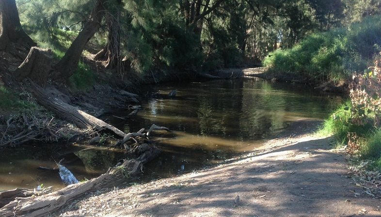
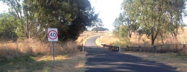
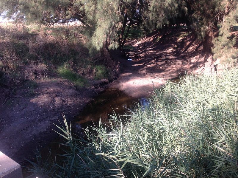
                        First Access to the Belabula River in the Canowindra to Gooloogong section below Canowindra, is the Settlement Bridge on the Settlement Bridge rd. This river meanders through hi intensity farming country. Whilst the bridge is on public land the river flows through farming country. Access permission should be sort and obtained before venturing into these properties that border the river banks. This river flows at very low levels and guidance from the river gauges at Canowindra no.412195 and Helensholme no.412033 combined with personnel observations should be used to determine adaquate water. The river is very heavly vegitated and snagged.
                      ROAD ACCESS: 
                      
                                              Sealed
                  
                      LAND TENURE: 
                      
                          Private
                  
                  CLOSEST MAIN ROAD: 
                  
          
                        Warraderry way
              
                  WATER ACCESS: 
                  
          
                        Access off bridge, ford or roadside
              
                  DISABLED ACCESS: 


                  DISABLED ACCESS DESCRIPTION: 


					View in Waterways Guide Explorer


                Latitude: 
                
            -33.581249000000
            
                Longitude: 
                
        148.487869000000