Posted by
            
            
                SHARE URL:


                  Access Point Description: 


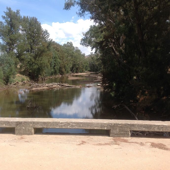
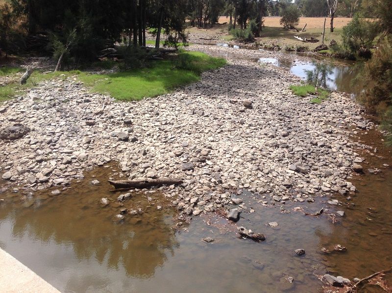
                        Access to river below the bridge can be obtained from cleared area on Bigga side of bridge or by travelling toward the recreation area of Grabine.  navigatable water will be found eventually, distance depending on the storage levels of Wyangala Dam.
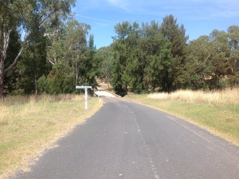
Unsealed road after leaving Reids Flat to Bigga rd to Grabine.    Gravel road to Bigga 
Absolutly no support of any kind in the village of Reids, be totally self sufficent in this area. No food, fuel, no repairs,  
accommodation only at Grabine or Wyangala.   Be prepared for all circumstances.
 
                      ROAD ACCESS: 
                      
                                              Sealed
                  
                      LAND TENURE: 
                      
                          Free public
                  
                  CLOSEST MAIN ROAD: 
                  
          
                        Reids Flat to Bigga rd  
              
                  WATER ACCESS: 
                  
          
                        Access off sand/bank
              
                  DISABLED ACCESS: 


                  DISABLED ACCESS DESCRIPTION: 


					View in Waterways Guide Explorer


                Latitude: 
                
            -34.128476075445
            
                Longitude: 
                
        149.020153252700