 
  
              Posted by
            
            
                SHARE URL:


                  Access Point Description: 


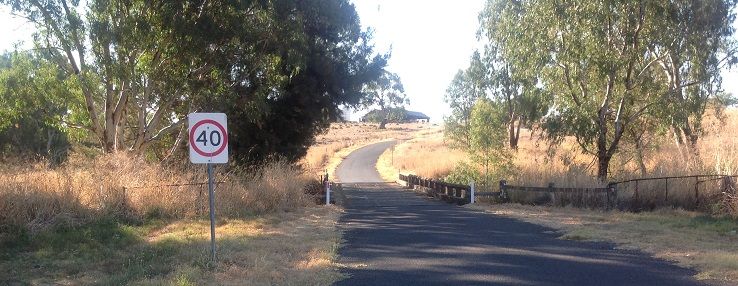
                        Access to the Belubula River is from this Bridge on Rivers rd.  Bridge is on public land but river flows through private farming lands. Access to these lands require permission from adjacent land owners and should be obtained.
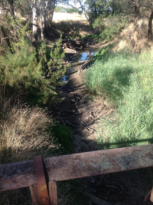
The river continues to be small and low running, snagged with debris and vegitation, progress depends on determination and adaquate water. The Helensholme gauge 412033 should be used to determine water level in this area.    Next point is the Junction of the Lachlan.
                      ROAD ACCESS: 
                      
                                              Sealed
                  
                      LAND TENURE: 
                      
                          Crown
                  
                  CLOSEST MAIN ROAD: 
                  
          
                        Warraderry way,
              
                  WATER ACCESS: 
                  
          
                        Access off bridge, ford or roadside
              
                  DISABLED ACCESS: 


                  DISABLED ACCESS DESCRIPTION: 


					View in Waterways Guide Explorer


                Latitude: 
                
            -33.581330316616
            
                Longitude: 
                
        148.487863509260