Posted by
Jon Mortimer manages the Eurobodalla Kayakers website and email list. Eurobodalla Kayakers is not a club. It is simply a facility for sharing information about some kayaking activities in the district, for kayakers who want to know when and where other paddlers might be found on the water. Further information, including a calendar of paddles, is available on the website (access via the link below) or via the email eurobodallakayakers[at]gmail.com
Eurobodalla Kayakers
SHARE URL:
Access Point Description:
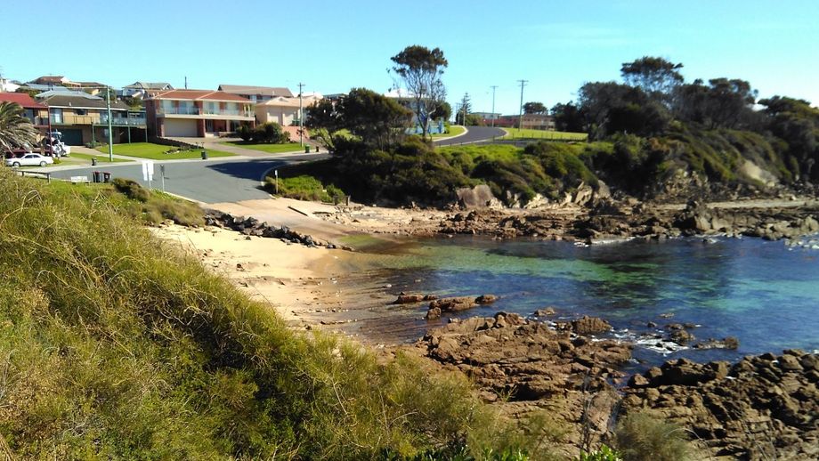
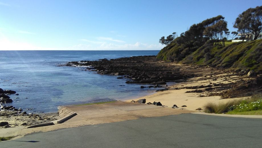
Concrete boat ramp in a sheltered cove that provides direct ocean access as an alternative to crossing the Narooma Bar. There is a small patch of beach next to the boat ramp suitable for launching kayaks. Be aware that this is a popular spot with divers. Look out for surface marker buoys.
ROAD ACCESS:
Sealed
LAND TENURE:
Council Managed
CLOSEST MAIN ROAD:
Princes Highway
WATER ACCESS:
Access off sand/bank
DISABLED ACCESS:
DISABLED ACCESS DESCRIPTION:
View in Waterways Guide Explorer
Latitude:
-36.166180740940
Longitude:
150.130874781220


