Jon Mortimer manages the Eurobodalla Kayakers website and email list. Eurobodalla Kayakers is not a club. It is simply a facility for sharing information about some kayaking activities in the district, for kayakers who want to know when and where other paddlers might be found on the water. Further information, including a calendar of paddles, is available on the website (access via the link below) or via the email eurobodallakayakers[at]gmail.com
Eurobodalla Kayakers
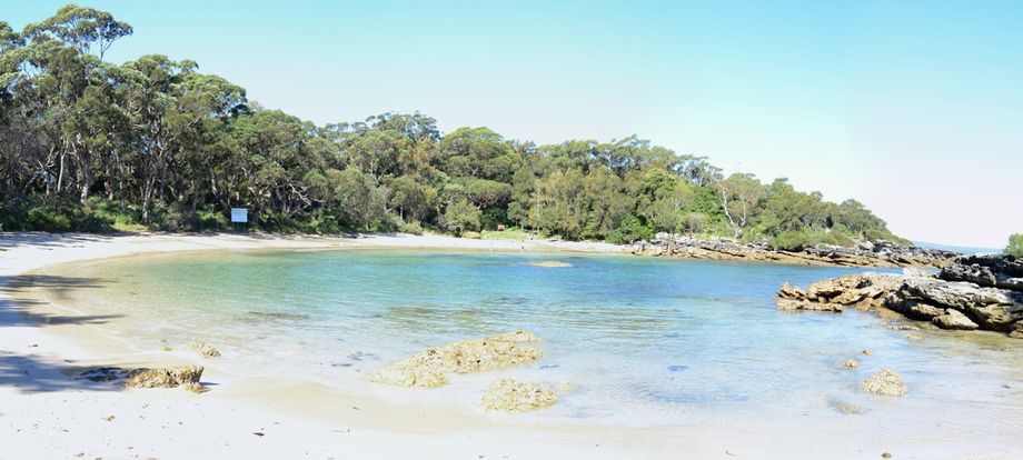
Crescent shaped west facing bay backed by a 100m long beach, with a 20m wide opening leading to the waters of Jervis Bay. A beautiful and popular place, particularly over the summer school holidays. There is a camp ground behind the beach open on weekends and school holidays. Sites are available on a first come first in basis except over the summer school holidays when a ballot system is used. The camping ground has chemical toilets and bins for rubbish but no fresh water. No open fires allowed; bring gas or solid fuel burners for cooking. Access to Honeymoon bay is on a gravel road, officially open to all vehicles but a 4WD or SUV or at least a large sized car is best. A 100m walk from the carpark to the beach. This is defence land so you will need some form of identification to get in. Access is closed completely on some weekdays for defence exercises. Call the Shoalhaven Visitors Centre on 1300 662 808 to check access prior to arrival.

