
Posted by
Jon Mortimer manages the Eurobodalla Kayakers website and email list. Eurobodalla Kayakers is not a club. It is simply a facility for sharing information about some kayaking activities in the district, for kayakers who want to know when and where other paddlers might be found on the water. Further information, including a calendar of paddles, is available on the website (access via the link below) or via the email eurobodallakayakers[at]gmail.com
Eurobodalla Kayakers
SHARE URL:
Access Point Description:
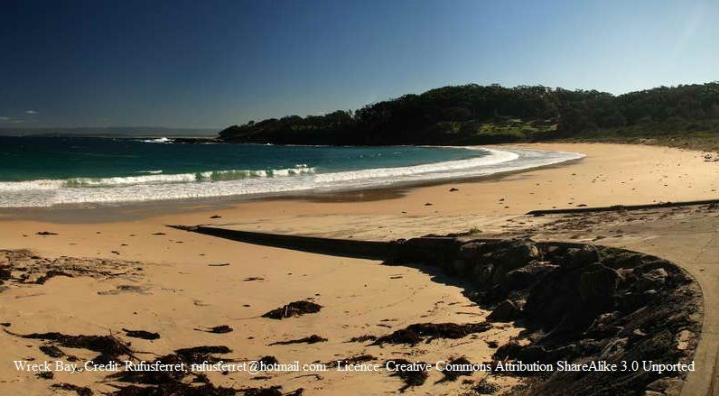
Sealed boat ramp down to Summercloud Bay Beach. Large car park behind. Booderee National Park entry fee required per car.
ROAD ACCESS:
LAND TENURE:
Unknown
CLOSEST MAIN ROAD:
Wreck Bay Road
WATER ACCESS:
Public boat ramp
DISABLED ACCESS:
DISABLED ACCESS DESCRIPTION:
View in Waterways Guide Explorer
Latitude:
-35.170687000000
Longitude:
150.691492000000
Media