At Paringa leave the Sturt Highway by turning onto Mertho Rd. It is approx. 23km to the Old Customs House. You will pass the turn-off to Lock 6 about 16km further. Access points to the Chowilla area and River Murray are located on this road.
The Customs House now operates as a General Store and entry point to this isolated border area and Chowilla floodplains.
Facilities: River access, toilets, picnic area, interpretive walk, scenery, general store, coffee.
After the 1850's gold rush the colonies were looking for ways to raise revenue. Govenor W.C.F. Robinson dispatched a party to survey the area and find a suitable place to establish a border post to collect excise for goods crossing the border into South Australia by the river.
Originally established as Port Merthoo in 1884, the name of the area was changed to Border Cliffs by Richard Stoekle when he took over the abandoned outpost in 1904 to use the buildings as a farmhouse.
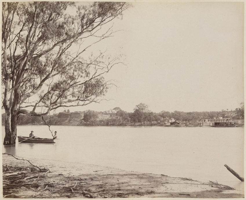
The photo below was sourced through the National Library of Australia and was taken by Charles Bayliss, of Sydney, when he was recording scenery on the Darling and Murray Rivers during the flood of 1886. The border with Victoria is approximately 700m upstream, the border with New South Wales is a further 9 river km to the east.
There is a 4km loop walking trail (commencing in the Customs House carpark) that meanders through the wetland and red gum forest of the Chowilla Game Reserve. Numerous creeks cross the flood plains and bird life is abundant. (Allow 1.5 to 2 hours)
There are numerous creeks in the anabranch system that flow through the old Chowilla station to explore and enjoy.
Prior to departure always check weather for approaching cold fronts (which can be associated with strong winds, falls in temperature and changes in wind direction)


