
Posted by

The Waterways Guide web developer
The Waterways Guide web developer
SHARE URL:
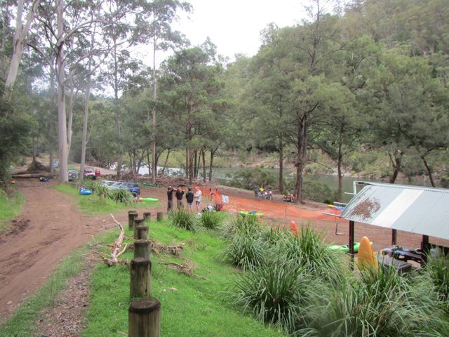
Access Point Description:
ROAD ACCESS:
4WD
LAND TENURE:
National Parks
CLOSEST MAIN ROAD:
Mills Road
WATER ACCESS:
Access off sand/bank
DISABLED ACCESS:
Need Assistance
DISABLED ACCESS DESCRIPTION:
View in Waterways Guide Explorer
severly affected by floods of January 2013, Cutrently the only access is through Cascade.
Latitude:
-30.185123000000
Longitude:
152.692110000000
Media