
Posted by

The Waterways Guide web developer
The Waterways Guide web developer
SHARE URL:
Access Point Description:
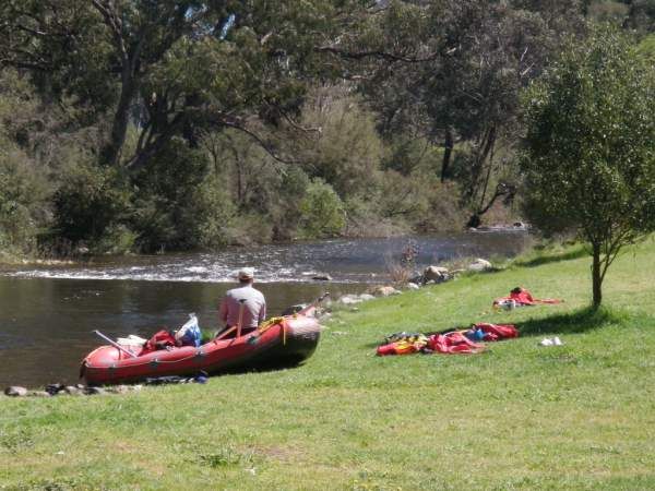
The reserve is between the road and the river, although a big chunck of it was washed away in the 2010 & 2012 floods
ROAD ACCESS:
Sealed
LAND TENURE:
National Parks
CLOSEST MAIN ROAD:
Gooberragandra Road
WATER ACCESS:
Access off sand/bank
DISABLED ACCESS:
Not Available
DISABLED ACCESS DESCRIPTION:
View in Waterways Guide Explorer
Latitude:
-35.400244381989
Longitude:
148.431856727190
Media
Rock Flat Reserve Goobarragandra
jeffcottrell
Monday, September 19, 2016 - 02:37