Posted by
Jon Mortimer manages the Eurobodalla Kayakers website and email list. Eurobodalla Kayakers is not a club. It is simply a facility for sharing information about some kayaking activities in the district, for kayakers who want to know when and where other paddlers might be found on the water. Further information, including a calendar of paddles, is available on the website (access via the link below) or via the email eurobodallakayakers[at]gmail.com
Eurobodalla Kayakers
SHARE URL:
Access Point Description:
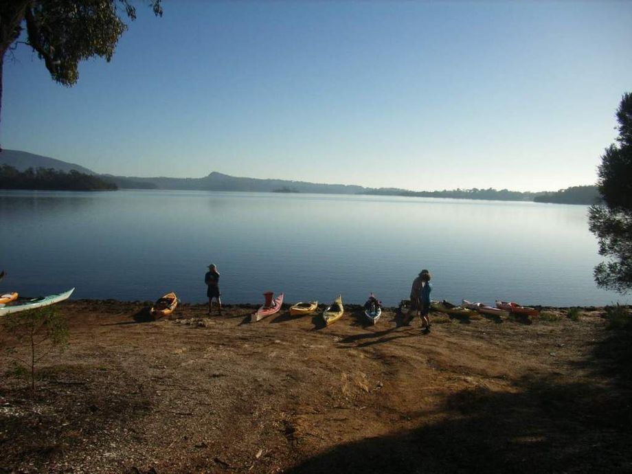
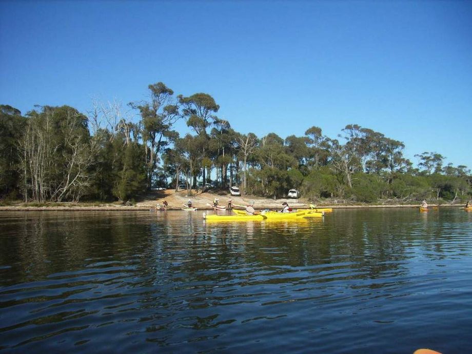
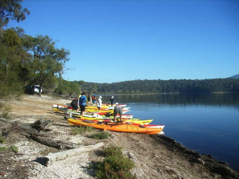
Launch onto Wallaga Lake from the end of Fairhaven Point Way, Wallaga Lake. This spot provides access to the Lake and Black Lagoon. If you are coming from the north, turn left onto Bermagui Road and then travel 10.8km before turning right into Fairhaven Point Way. If coming from the south, turn right into Cobargo Bermagui Road and then travel 16.4km before turning left onto Wallaga Lake Road then travel 3km before turing left into Fairhaven Point Way. Sealed road all the way, apart from the last 100 metres. No toilet facilities at the launch point. Nearby toilet facilities at Wallaga Lake island and in Bermagui.
ROAD ACCESS:
Unsealed
LAND TENURE:
Council Managed
CLOSEST MAIN ROAD:
Fairhaven Point Way, off Bermagui Road, off Princes Highway
WATER ACCESS:
Access off sand/bank
DISABLED ACCESS:
Need Assistance
DISABLED ACCESS DESCRIPTION:
View in Waterways Guide Explorer
Latitude:
-36.382483352285
Longitude:
150.053520295500