08. Canowindra to Gooloogong
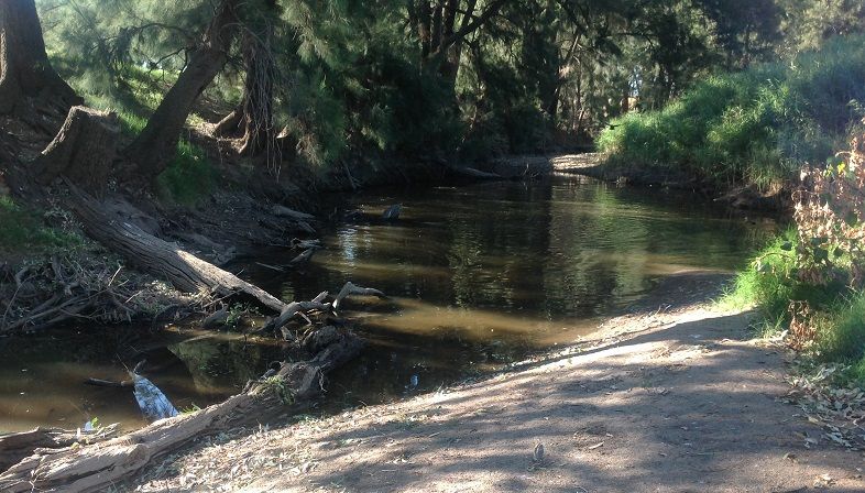
Canowindra to Gooloogong on the Belubula River is by a very conjested water course. Tree covered levey banks confine the river to its meandering course through extensive intence irrigated farming country. The river is heavy in debris and overgrown with weeds making any paddling difficult. Adaquate water depends on Dam discharge and local rains. Photos taken 08/03/2016 show very low to no flows.
Canowindra river gauge no.412195 should be used in conjunction with Needles Gauge no. 412056 and Rivers rd Gauge (Helensholme) no.412033 and to ensure adequate water in this section
Two waypoints are in this section, A bridge on Solders Settlement rd and one on the Rivers rd where it joins the Grenfell -Orange rd. Any other points are on private property and entry permission should be obtained.
Once finding the Lachlan River travel is less conjested but again requires adaquate water from Wyangala to joint the Belubula. See Cowra Gauge no.412002 to assist with this determination.

