06. Mandurama rd, Fagans Bridge to Bakers Reserve Burnt yards Road
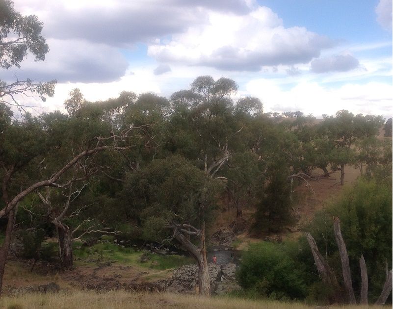
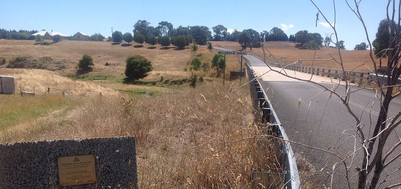
Bakers shaft reserve is your destination. Inspection of this area is recommended. River from Fagans Bridge continues to be small, shallow and vegitation conjested.This section of the Belubula river is away from public roads in the most part. The river is small and low in water levels . Access to the river is from the Fagans Bridge on the Mandurama to Burnt Yards rd. Exit from this section is the Bakers shaft reserve. The river is now within very steep country. Water levels depend on good output from the Carcoar Dam and/or local rain in the Cadia catchment. Check river levels at Carcoar and Dam discharge rates.
The Access to Junction Reefs is closed to the public due to mining activities there. The Junction Reefs wall is a k or two down stream from this reserve. See the section Bakers shaft to canowindra for details.
Large drop in river bed in the Junction Reef dam wall area, which must be got around. This area should be checked out before attempting the run. The river water levels are never high unless in flood and then are not usable by the paddler
The Belubula River is a triburary of the Lachlan River


