

Piggy Back Bridge to St Albans
Posted by

Volunteer with Landcare group Friends of the Colo we paddle waterways using the groups equipment to map and treat weeds.
http://www.rivercanoeclub.org
Volunteer with Landcare group Friends of the Colo we paddle waterways using the groups equipment to map and treat weeds.
http://www.rivercanoeclub.org
SHARE URL:
Latest water level:
2.76 m
Level update time:
10-Jun-2026 00:42
WATERWAY:
Macdonald River (Hawkesbury)
ENTRY POINT:
EXIT POINT:
AVERAGE GRADE:
Grade I
HIGHEST GRADE:
Grade I
TRIP DURATION:
TRIP LENGTH:
14km km
Gradient:
Hot Tip:
Maps:
Shuttle Length:
Portage?:
Yes
Description:
This is a nice begginners flat water paddle for kayaks, canoes or stand up paddle boards (SUP) if there has been enough rain to put water in the river and it ends outside the 200 year old Inn at St Albans. If there has been no rain or onlylight rain the river is just a series of ponds with long walks across sand banks. The river flows through farm land and bushland and the river is lined with phragmities reeds which cross the river in a few places. There is a low level crossing at Gorricks Run, a low level bridge at Upper MacDonald and the remains of a wooden bridge between Mogo Creek and St albans. these will need to be portaged.
Media


Paddling the MacDonald at -.02m on the St Albans Gauge
jeffcottrell
Tuesday, February 3, 2015 - 11:58
Paddling across one of the fords along the MacDonald with -0.2m on the St Albans Gauge
jeffcottrell
Tuesday, February 3, 2015 - 11:49
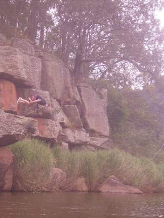
Lunch on one of the sand banks on the MacDonald River
jeffcottrell
Tuesday, February 3, 2015 - 11:48
New bridge built on top of the old one
jeffcottrell
Wednesday, August 20, 2014 - 05:42
beware the biggy back bridge
jeffcottrell
Wednesday, August 20, 2014 - 05:41
good sea kayak trip
jeffcottrell
Wednesday, August 20, 2014 - 05:39
portage the old bridge
jeffcottrell
Wednesday, August 20, 2014 - 05:36
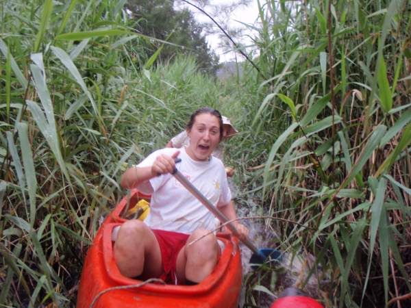
pushing through the reed banks
jeffcottrell
Wednesday, August 20, 2014 - 05:35
portage at old bridge
jeffcottrell
Wednesday, August 20, 2014 - 05:34
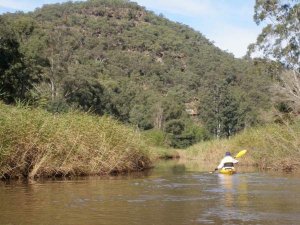
Reeds cross the river
jeffcottrell
Wednesday, August 20, 2014 - 05:31
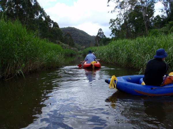
narrow channel through the reeds
jeffcottrell
Wednesday, August 20, 2014 - 05:30