Burrill Lake / Stony Creek
Posted by
Jon Mortimer manages the Eurobodalla Kayakers website and email list. Eurobodalla Kayakers is not a club. It is simply a facility for sharing information about some kayaking activities in the district, for kayakers who want to know when and where other paddlers might be found on the water. Further information, including a calendar of paddles, is available on the website (access via the link below) or via the email eurobodallakayakers[at]gmail.com
Eurobodalla Kayakers
SHARE URL:
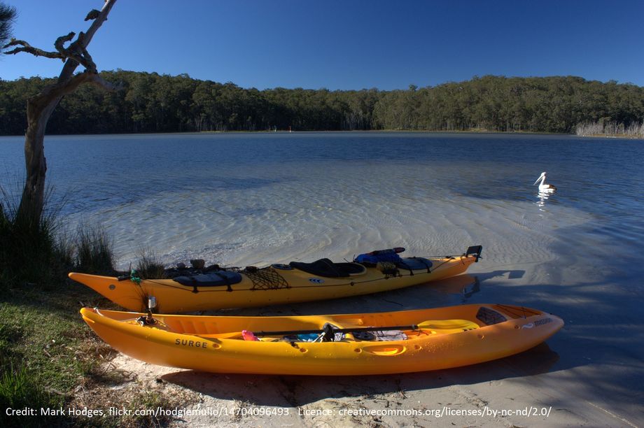
WATERWAY:
Burrill Lake
ENTRY POINT:
EXIT POINT:
AVERAGE GRADE:
S02
HIGHEST GRADE:
S02
TRIP DURATION:
4 hours
TRIP LENGTH:
21 km
Gradient:
Hot Tip:
Maps:
topo: Tabourie 8927-2S and Milton 8927-2N
Shuttle Length:
Portage?:
No
Description:
The Princes Highway crosses the eastern arm of Burrill Lake but only a small portion of the lake can be seen on this drive past. The main body of the lake and the associated Stony Creek stretch almost to the town of Milton. While there is development on the eastern arm, most of the rest retains a natural bushland feel, with nice views across the lake to Pigeon House Mountain. This paddle route explores Stony Creek and then the western basin, but can be shortened to any length desired. Drop in a line for an opportunity to catch bream, trevally and flathead, or perhaps garfish in the shallow water further up the creek.