Burnt Flat to the Edge of the Schedule 1 Area
Posted by

Volunteer with Landcare group Friends of the Colo we paddle waterways using the groups equipment to map and treat weeds.
http://www.rivercanoeclub.org

Volunteer with Landcare group Friends of the Colo we paddle waterways using the groups equipment to map and treat weeds.
http://www.rivercanoeclub.org
SHARE URL:
Latest water level:
0.44 m
Level update time:
21-Feb-2026 17:00
WATERWAY:
Wollondilly River
ENTRY POINT:
EXIT POINT:
AVERAGE GRADE:
Grade I
HIGHEST GRADE:
Grade II
TRIP DURATION:
2 to 4 hours
TRIP LENGTH:
6km km
Gradient:
Hot Tip:
Maps:
Shuttle Length:
Long Walk
Portage?:
No
Description:
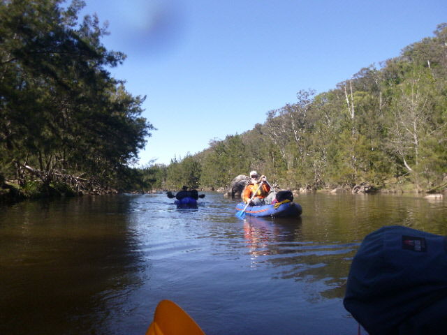
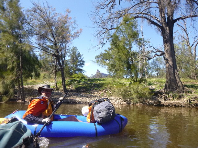
This is short section of Grade one and two river that takes you further into the Nattai NP on one site and the blue Mountains NP on the other and World Heritage Area and stops at the edge of the schedule one area where you MUST exit the river on the formed road and walk along the formed road to the locked gate at the end of Wanganderry Road, which is a 15klm walk so you have to be a very keen packrafter to do this section.
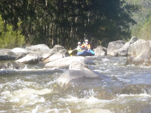
The river narrows in this section and if lined with native vegetation and then starts to widen out as you reach the exit point. the rapids are grade one and occassional grade two with both gravel rackes and rock gardens. The section is a wilderness experience rather than a whitewater adventure section.


