Murray Gates
Posted by

Published by: The Paddle NSW Inc. PO Box 6971 Silverwater NSW 2128 First published as a book "Canoeing Guide to New South Wales" in 1990 by NSW Canoe Association Incorporated Original Copyright NSW Canoe Association Incorporated 1990 Copyright PaddleNSW Inc. PO Box 6971 Silverwater NSW 2128 Email: admin@paddleNSW.org.au The information on this page and the printed book "Canoeing Guide to New South Wales" is copyright. Apart from fair dealing for the purposes of private study, research, criticism, or review as permitted under the Copyright Act, no part of this page may be reproduced, stored in a retrieval system or transmitted in any form or by any means electronic, mechanical, photocopying, recording or otherwise, without the prior permission of Paddle NSW Inc. All correspondence concerning the content of this guide should be addressed to the Paddle NSW Inc. ISBN O 646 00264 3 The "Canoeing Guide to New South Wales" was printed in Hong Kong by: United League Printing (Hong Kong) Ltd. , Film Separations by: D & S Brandish Print Consultants Typography by: Deblaere Typesetting Pty Ltd., Dee Why, NSW 2099
The Canoeing Guide to NSW Rivers
SHARE URL:
Latest water level:
0.72 m
Level update time:
01-Aug-2026 08:30
WATERWAY:
Murray River
ENTRY POINT:
EXIT POINT:
AVERAGE GRADE:
Grade III
HIGHEST GRADE:
Grade IV
TRIP DURATION:
Long day trip (4-8 hrs) and long shuttle.
TRIP LENGTH:
23 km
Gradient:
0
Hot Tip:
Except in summer, this river is fed by snowmelt and due precautions should be taken to prevent hypothermia.2. Logs across the river may be a hazard so that rapids should be inspected.3. A small increase in the water level leads to a substantial inc
Maps:
Shuttle Length:
Long!
Portage?:
No
Description:
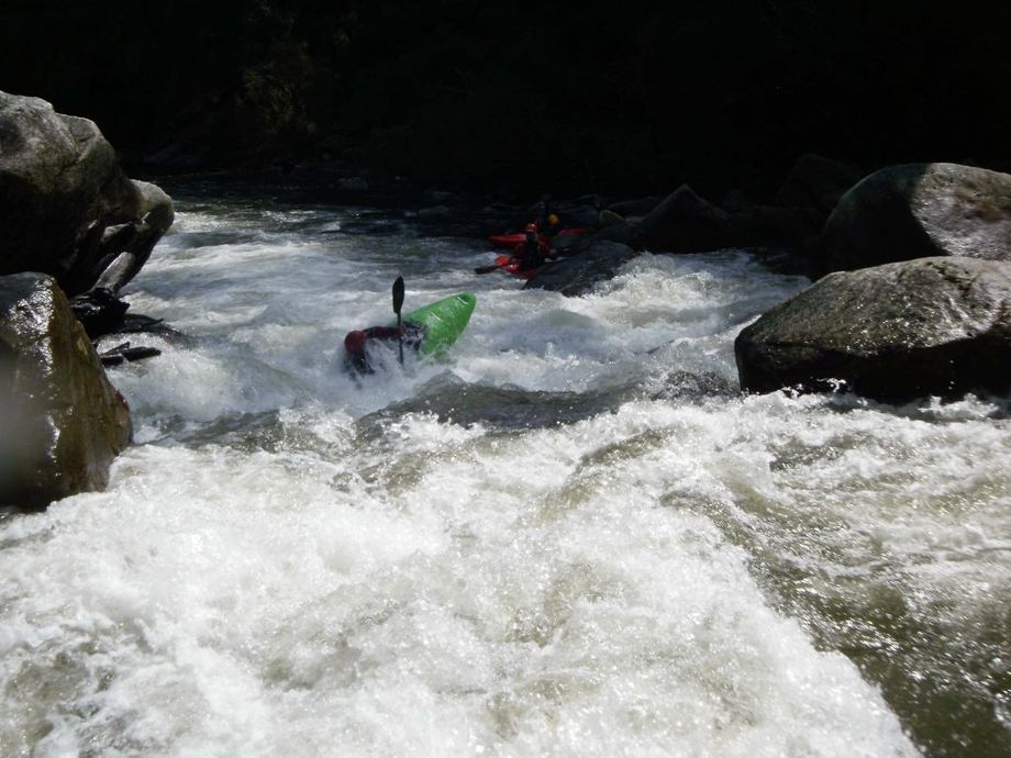
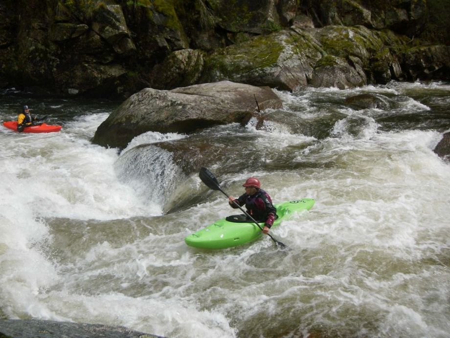
In the first 8km the river is narrow, fast and boulder-strewn. Shortly after entering the Gates bigger drops are encountered, a number of which are grade 4. They become almost continuous such that description of individual rapids is difficult. The scenery is spectacular with steep hillsides dropping straight to the water at a slope of about 45 degrees. Shortly before Hermit Creek enters on the left about 3km downstream, there is a series of testing drops leading without pause straight into the long Hermit Creek rapid. The Creek may be flowing very strongly and create a great deal of turbulent swirling at the confluence. The rapid (a tricky grade 4) drops into a quiet pool but this cannot be determined from the top as it is not possible to see right down the rapid. There are many rapids of grade 3 standards and at least one grade 4 below Hermit Creek but the river slowly loses its power and the last rapid is about 2.5km above the pull-out point. This is a highly technical section of river but becomes somewhat less technical as the river level rises.