Colinton to Nyora

Published by: The Paddle NSW Inc. PO Box 6971 Silverwater NSW 2128 First published as a book "Canoeing Guide to New South Wales" in 1990 by NSW Canoe Association Incorporated Original Copyright NSW Canoe Association Incorporated 1990 Copyright PaddleNSW Inc. PO Box 6971 Silverwater NSW 2128 Email: admin@paddleNSW.org.au The information on this page and the printed book "Canoeing Guide to New South Wales" is copyright. Apart from fair dealing for the purposes of private study, research, criticism, or review as permitted under the Copyright Act, no part of this page may be reproduced, stored in a retrieval system or transmitted in any form or by any means electronic, mechanical, photocopying, recording or otherwise, without the prior permission of Paddle NSW Inc. All correspondence concerning the content of this guide should be addressed to the Paddle NSW Inc. ISBN O 646 00264 3 The "Canoeing Guide to New South Wales" was printed in Hong Kong by: United League Printing (Hong Kong) Ltd. , Film Separations by: D & S Brandish Print Consultants Typography by: Deblaere Typesetting Pty Ltd., Dee Why, NSW 2099
The Canoeing Guide to NSW Rivers
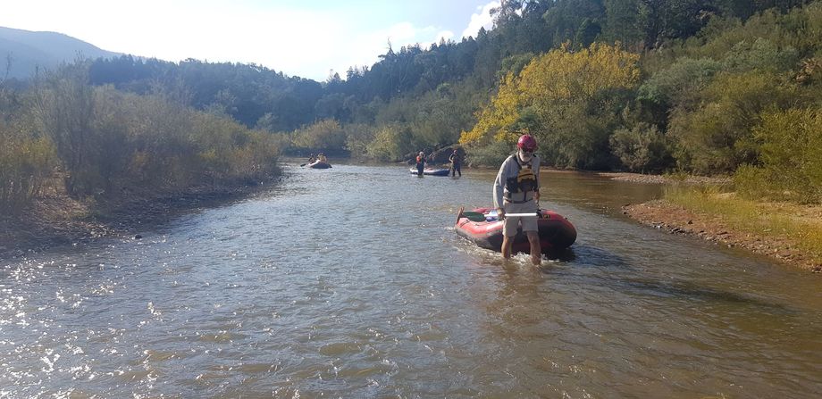
This section is predominantly flat water with a few races and takes 1/2 day's paddling time. See the previous section for access at Colinton and the following section for access at Nyora. NYORA TO ANGLE CROSSING (21 km) Nyora (Map Ref. 953416) is a homestead on the western side of the Monaro Highway about 4km south of Michelago. No public access is available at Nyora unless specific permission of the owner has been granted. From Nyora a track leads down to the river after 3 1 /2km. Angle Crossing is reached by turning west off the Monaro Highway at Williamsdale. The River is a safe and pleasant section of the Murrumbidgee bordered by high hills on the east and a mountain backdrop on the west all the way. The river is characterised by easy grade 2 rapids and races separated by pools and two grade 2-3 rapids. About halfway between Nyora and Michelago Creek there are some limestone cliffs with small caves on the eastern bank. It is worth taking a torch to view the stalactites in these caves although they are dead formations. Pleasant campsites are plentiful along this scenic section of river which flows through naturally vegetated country.

