
Berrima Weir to Berrima Camp Ground Wingecarribee River
Posted by

Volunteer with Landcare group Friends of the Colo we paddle waterways using the groups equipment to map and treat weeds.
http://www.rivercanoeclub.org
Volunteer with Landcare group Friends of the Colo we paddle waterways using the groups equipment to map and treat weeds.
http://www.rivercanoeclub.org
SHARE URL:
Latest water level:
1.07 m
Level update time:
24-May-2026 18:30
WATERWAY:
Wingecarribee River
ENTRY POINT:
EXIT POINT:
AVERAGE GRADE:
Grade I
HIGHEST GRADE:
Grade II
TRIP DURATION:
0.5 hours
TRIP LENGTH:
2 km
Gradient:
Hot Tip:
Maps:
Shuttle Length:
1km
Portage?:
No
Description:
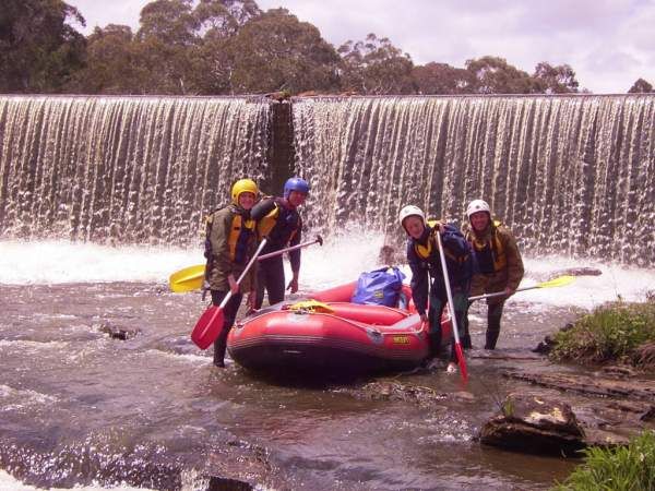
This is a short whitewater paddle around town. Although you can put in at low levels and have a flat water paddle on the ponds up to the Weir from the Stone Quarry Steps or down to River Bend Reserve from Berrima Camp Ground. This paddle can be added to the paddle downstream of the Berrima Camp ground
There can be play waves downstream from the weir and downstream of the stone quarry steps during higher flows (above 1.6) that are a short paddle for locals or if you are in the area.
Media

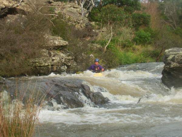
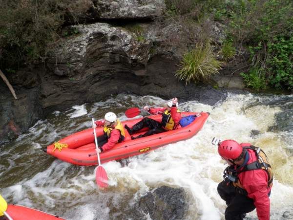
The main rapid in this section with 300MLd water level
jeffcottrell
Wednesday, April 30, 2014 - 04:52
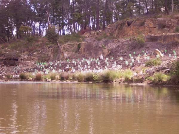
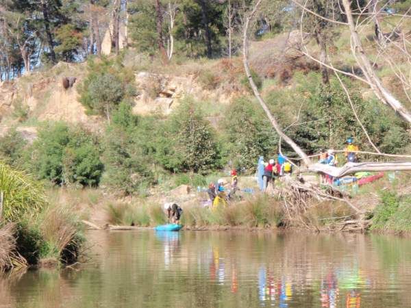
Tree planting on restored river bank at the Stone Quarry Steps in November 2010
jeffcottrell
Wednesday, April 30, 2014 - 04:52
Tree planting on restored river bank at the Stone Quarry Steps in October 2006
jeffcottrell
Wednesday, April 30, 2014 - 04:52
Tree planting on restored river bank at the Stone Quarry Steps in October 2008
jeffcottrell
Wednesday, April 30, 2014 - 04:52