Port Headland Park Wisemans ferry to Webbs Creek Tidal limit

Volunteer with Landcare group Friends of the Colo we paddle waterways using the groups equipment to map and treat weeds.
http://www.rivercanoeclub.org
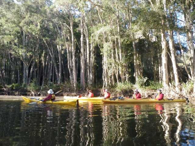
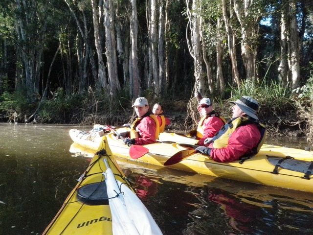
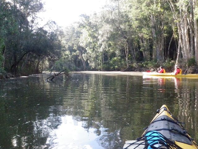
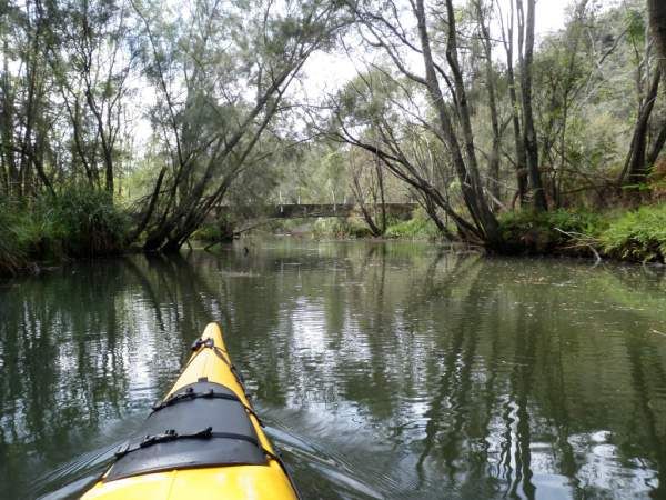
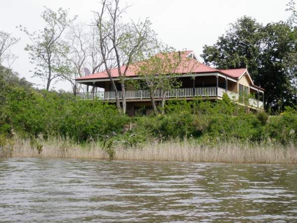
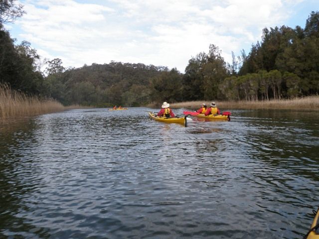
Webbs creek is a beatiful and quiet creek off the hawkesbury river near Wisemand Ferry. there is a low level bridge at the hawkesbury junction that stops most of the power boats from going up the river as they can not get under the bridge in the lower part of the tide cycle. There is also a spead limit which the landowners strickty enforce by reporting any offenders to RMS officers. As a result the creek banks are intact and covered with native vegetations with only one or two spots where cattle graze on the river banks. You can paddle up the river about 10km to the tidal limit and just before you reach a higher whte (private) bridge Doyles Creek enters Webbs Creek from the west. I highly recommend paddling up Doyles creek as it meanders through a Melaleuca Forest. There is not public access along the river. There are two bridges that cross the river but last time i paddled the creek getting down to the creek was difficult near these bridges. So i start the paddle from Port Headland park at wisemans Ferry and paddle across the river near the ferry to take cover from the water skiers and other power boats which have to give way whilst the ferry is on the move with it lights flashing. then when the ferry stops and the flashing light stop i cross the ferry cables and go on my way next to the bank.


