Posted by


                SHARE URL:
                
            
                        Scenery,Other
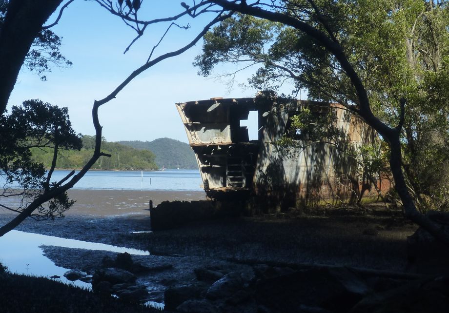
              Ship Wreck
              
                  Latitude: 
                  
              -33.501167112191
              
                  Longitude: 


					View in Waterways Guide Explorer


                        151.181407539480
              
                  Description


        The wreck site of the former HMAS Parramatta lies in shallow water within Cascade Gully in the Hawkesbury River, near its northern bank. Best approached in high tide as the exposed mud flats prevent getting a close look.