Posted by


SHARE URL:
Walk,Remote camping,Scenery,Other
River Mouth, fishing
Latitude:
-35.555984143208
Longitude:
View in Waterways Guide Explorer
138.882353617440
Description
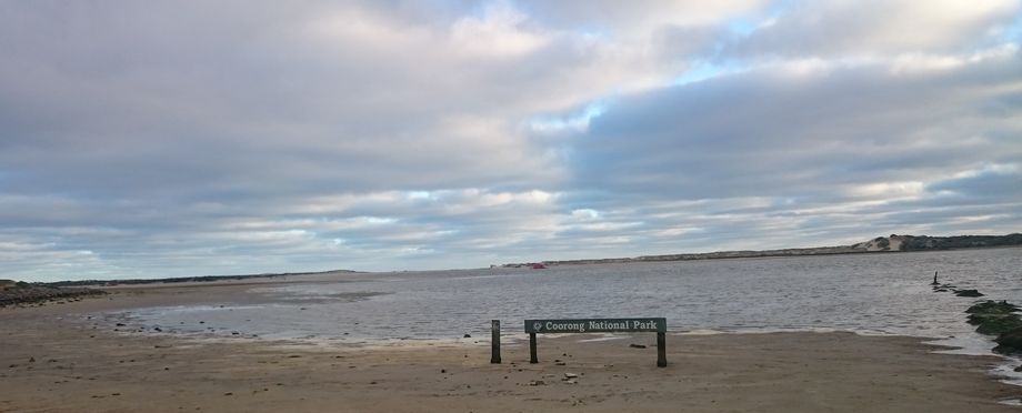
Mouth of the Murray River where the waters break through the Sir Richard Younghusband Peninsula and empty into Encounter Bay and the Southern Ocean.
Caution: Shifting sandbars, breaking waves together with potentially strong river and tidal currents, make the area a dangerous place for inexperienced paddlers.
Always check predicted wind and tides prior to departure and for the expected duration of your trip.
Live river data provided by the Murray-Darling Basin Authority: https://livedata.mdba.gov.au/flow-sea-through-lower-lakes-barrages
Enhance your trails experience, for more information about South Australian trails including bike, walking, scuba and horse trails go the the SA Trails website: www.southaustraliantrails.com
More info:


