Posted by
SHARE URL:
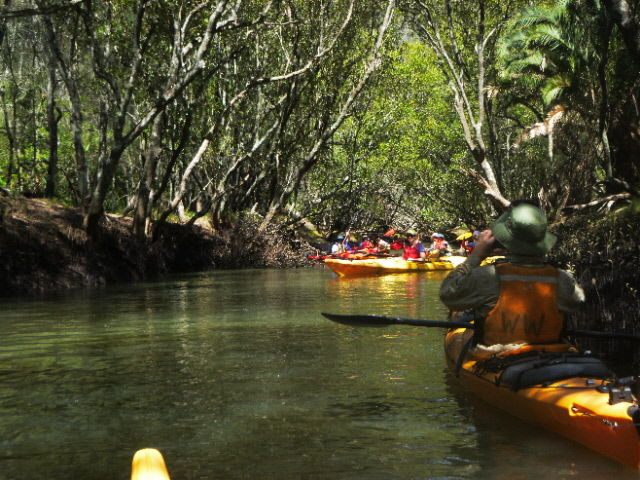
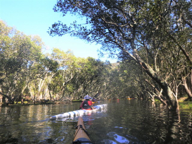
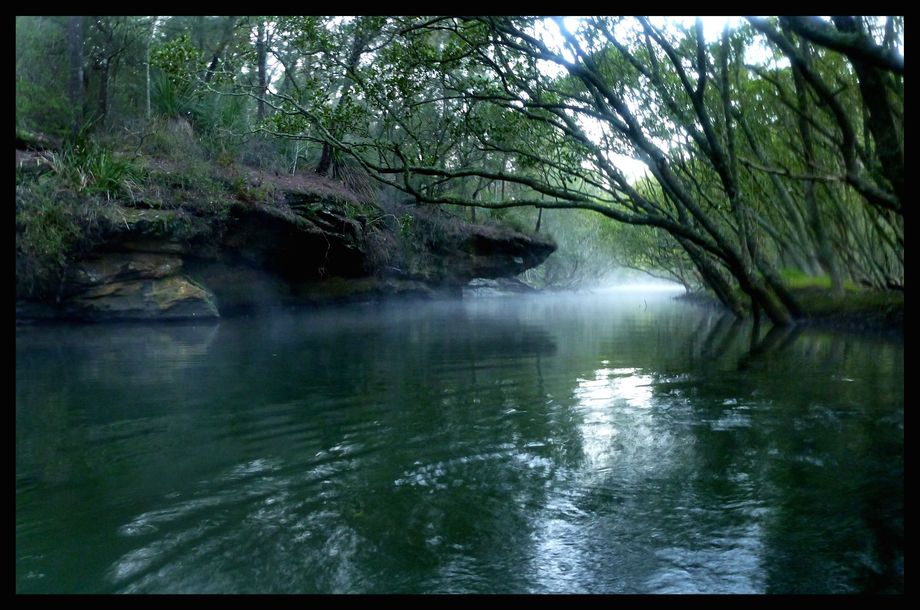
Walk,Scenery
Latitude:
-33.758522328772
Longitude:
View in Waterways Guide Explorer
151.189607474530
Description
A beautiful small creek on the southern side of upper middle Harbour. This is best done at the highest possible tide for maximum access. Launch points are from the western most end of Davidson Park or (adding about 1km each way) from the boat ramp area just east of Roseville Bridge.
More info: