Posted by
SHARE URL:
Walk
Latitude:
-33.816080388991
Longitude:
View in Waterways Guide Explorer
151.139562818750
Description
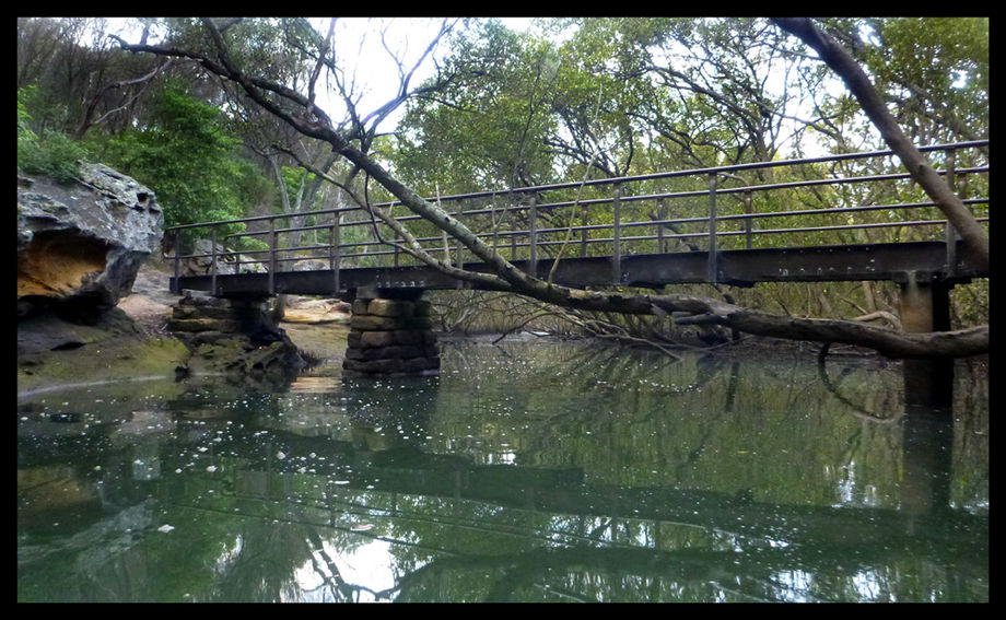
Ths estuarine stream is barely visable in the satellite images so it is a real suprise that you can access the mangrove this far. The bridge in the image is about 100 metres downstream from the navigable limit, access will depend on the tides (this image was taken around midway between high and low tides).
More info:
Media