Posted by

SHARE URL:
Scenery
Latitude:
-33.858143273201
Longitude:
View in Waterways Guide Explorer
150.614138189360
Description
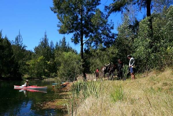
There are small camp sites along the river bank at the bottom of the track leading down from the car park on the left bank of the Nepean river upstream of where the Warragamba River joins the Nepean River. These sites are also accssable from the car park at the top of the hill. There are no facilitis at this camp site and you should carry your own water as i beleive the Warragamba STP occassionaly discharges untreated effluent. Local children also use the area for overnight camps, swimming and fishing. So there is an alternate site downstream of the Warragamba junction on river left
More info:
Media