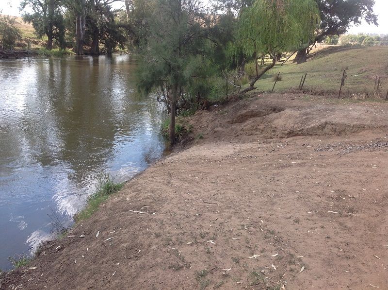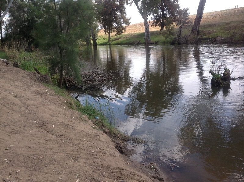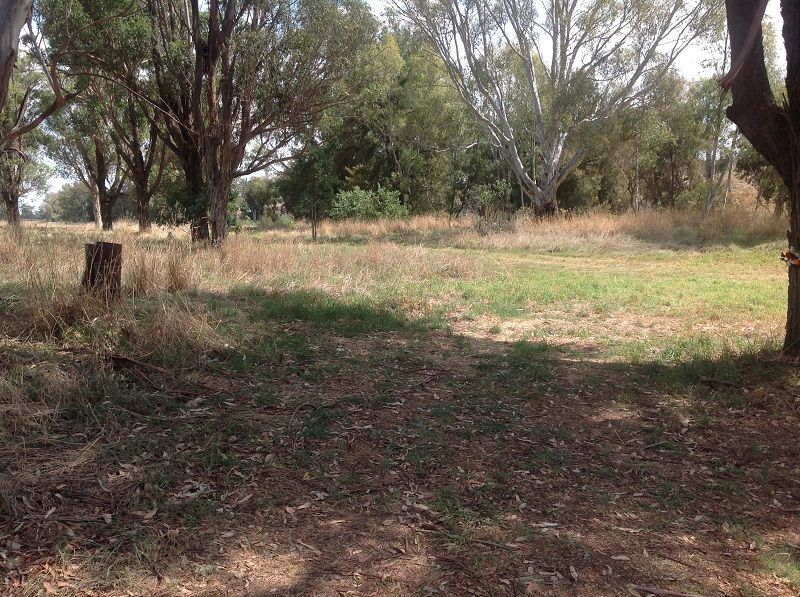
Access point to Lachlan River in the Darbys Falls Cowra Section. reasonably easy access. ample room to park. Dirt lane from the Cowra Darbys falls rd. 16kms from Darbys Falls
16kms to Cowra Bridge. can be trees across river requiring portage depending on recent floods.
No facilities (except an old bin that does not get emptied). Steep bank to deep water entry at the most obvious spot, but flatter entry about 30m upstream amongst willows (down a longer weedy bank). Medium difficulty to see from the river. The reserve is three quarters of the way down a 1 km long straight, which points straight at a hill with two tanks on top. The river bank along the straight is well treed but with no trees behind - look for the line of planted gum trees 20m back from river and parallel at the back of the reserve. On the downstream side look for the vehicle track down to the water and the line of deciduous trees that goes perpendicular to the river.
Road Distances:
Cudgelo Lane to Darbys Falls - 16 km
Cudgelo Lane to Jukes Lane - 9 km
Cudgelo Lane to Cowra - 12km
Jukes Lane to Darbys Falls - 24 km
Jukes Lane to Cowra - 26 km
Second Sands to The Mill TSR - 1 km
The Mill TSR to Cowra - 2 km


