Tuross River Silo Farm Bridge to Snake Flat
Posted by
Jon Mortimer manages the Eurobodalla Kayakers website and email list. Eurobodalla Kayakers is not a club. It is simply a facility for sharing information about some kayaking activities in the district, for kayakers who want to know when and where other paddlers might be found on the water. Further information, including a calendar of paddles, is available on the website (access via the link below) or via the email eurobodallakayakers[at]gmail.com
Eurobodalla Kayakers
SHARE URL:
Latest water level:
0.97 m
Level update time:
24-May-2026 07:45
WATERWAY:
Tuross River
ENTRY POINT:
EXIT POINT:
AVERAGE GRADE:
Grade I
HIGHEST GRADE:
Grade I
TRIP DURATION:
3 hours
TRIP LENGTH:
11.4 km
Gradient:
Hot Tip:
Pick up a copy of the Eurobodalla Kayaking and Canoeing brochure from the tourist office for information on this and 16 other paddles in this part of the world
Maps:
Shuttle Length:
8.6km
Portage?:
Description:
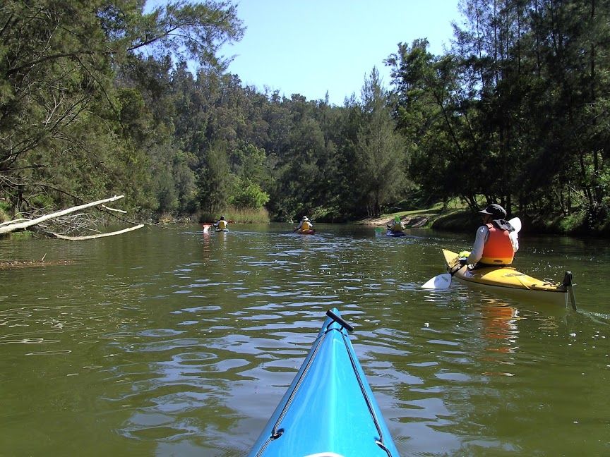
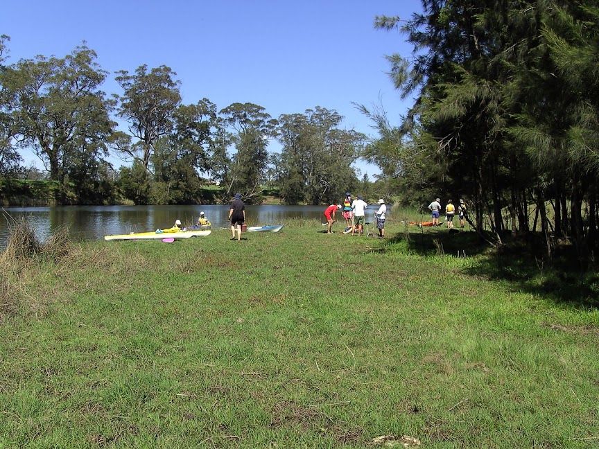
Launch from northern side of Silo Farm Bridge, Comerang Forest Rd. This paddle is best done as a one way trip to Snake Flat and so requires a car shuffle for pick up. It is best done with higher river levels otherwise kayaks will need to be carried through some shallow sections below the Silo Farm Bridge A round trip paddle up from Snake Flat to the Silo Farm Bridge and back makes for a longer paddle but avoids the car shuffle. This paddle can be made shorter by turning around at any point before getting to the Bridge. Good coffee is available in Bodalla after your trip.
Visit www.eurobodallakayakers.com to see when local paddlers will be on the water here. The Eurobodalla Kayaking and Canoeing Brochure provides a description of this and sixteen other paddles in this part of the world.