Woods Reserve to Navua Reserve
Posted by

Volunteer with Landcare group Friends of the Colo we paddle waterways using the groups equipment to map and treat weeds.
http://www.rivercanoeclub.org
Volunteer with Landcare group Friends of the Colo we paddle waterways using the groups equipment to map and treat weeds.
http://www.rivercanoeclub.org
SHARE URL:
Latest water level:
0.67 m
Level update time:
24-May-2026 12:45
WATERWAY:
Grose River
ENTRY POINT:
EXIT POINT:
AVERAGE GRADE:
Grade I
HIGHEST GRADE:
Grade I
TRIP DURATION:
2
TRIP LENGTH:
4.5 km
Gradient:
0
Hot Tip:
Maps:
Shuttle Length:
6km
Portage?:
No
Description:
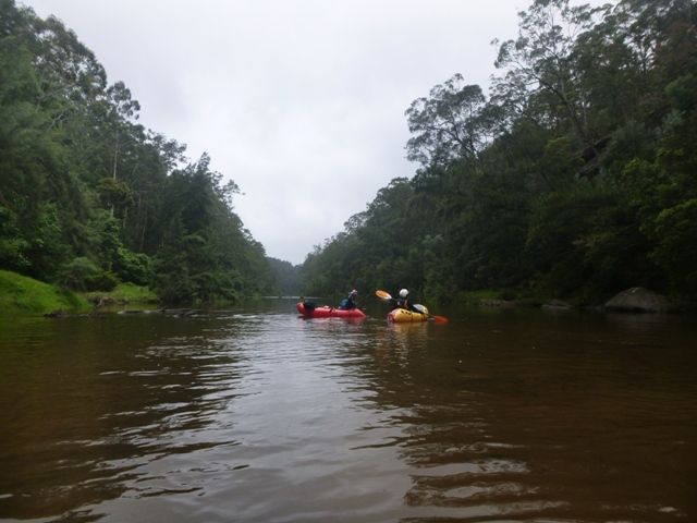
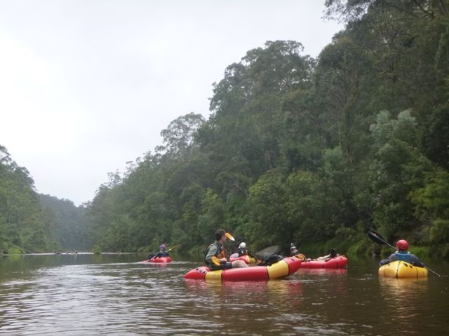
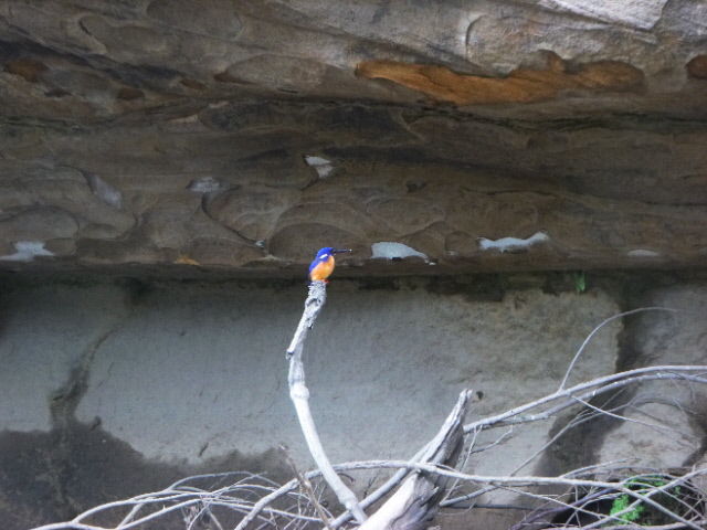
This is an enjoyable flat water paddle through bushland on the lower end of the grose river, below the last rapid. You start with a 1.3km walk, most along a dirt road, in to the river from the locked gate at then end of Woods Reserve road so li-los or packrafts are better then kayaks or canoes. The river flows over sand but had lots of logs and native vegetation along the banks as well as waterdragons birds and the occassional snake Best done when the river is above 0.7 so you avoid haveing to get out and walk over the sand bars. the water quality is pretty good as the river flows theough the Greater Blue Mountains World Heritage Area